Logistics & Freight Map
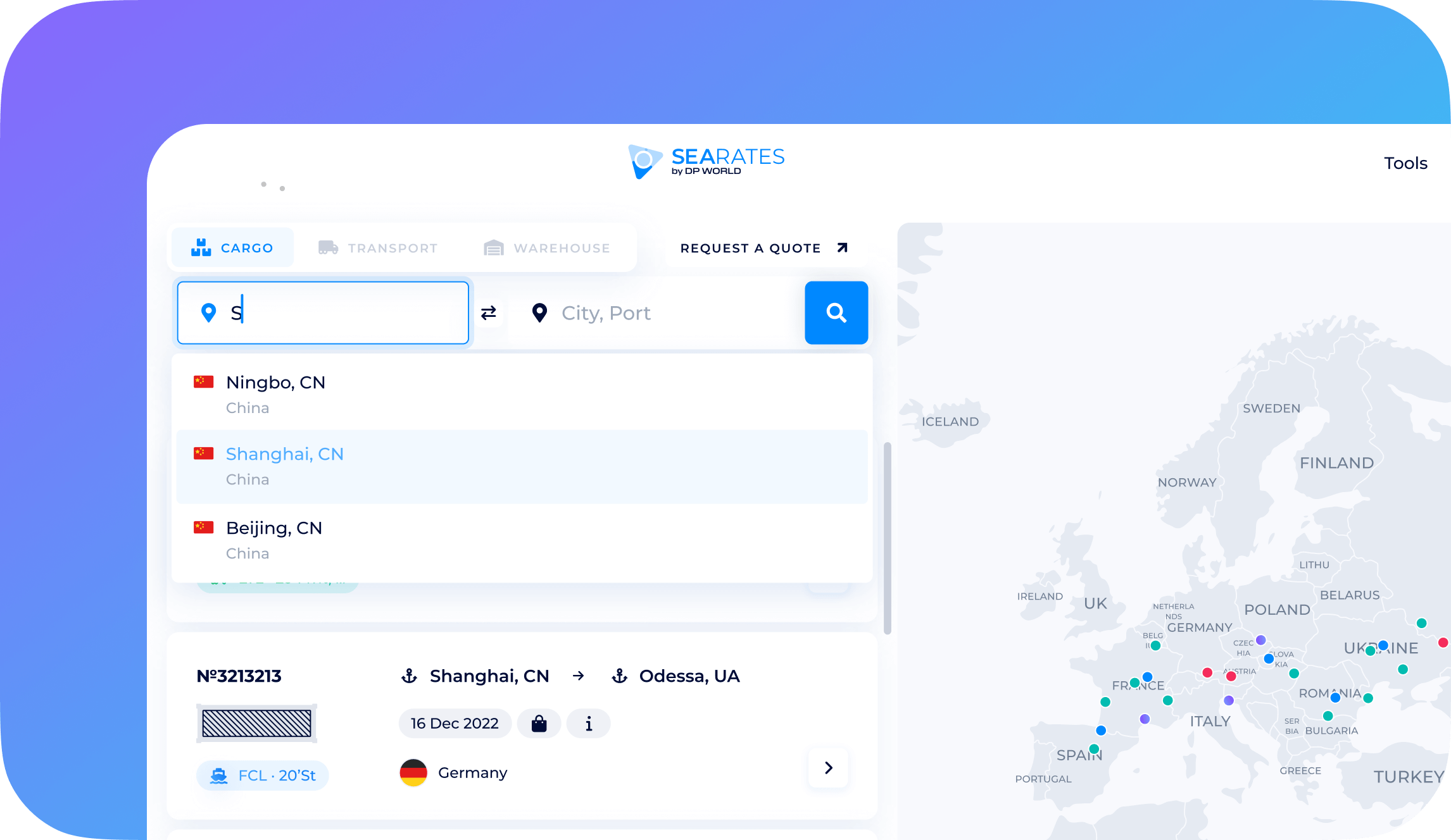
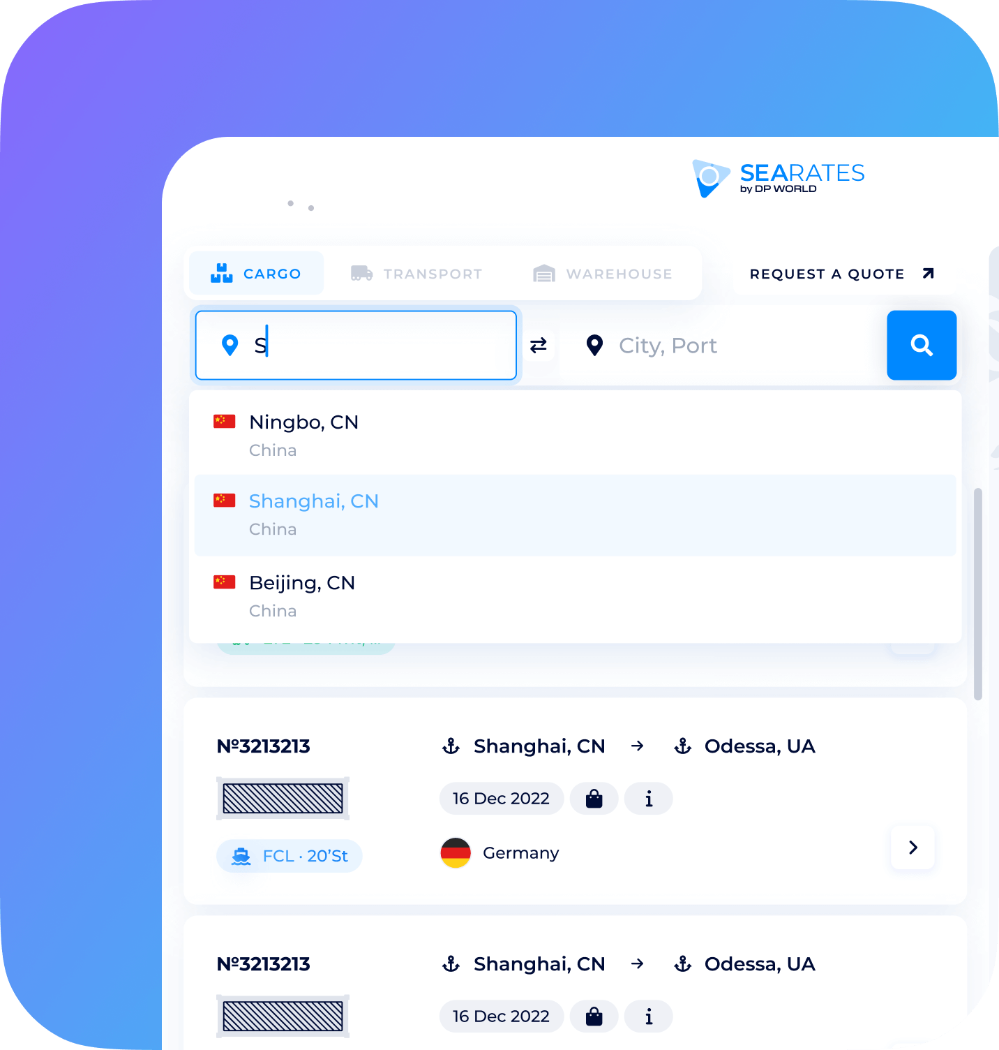
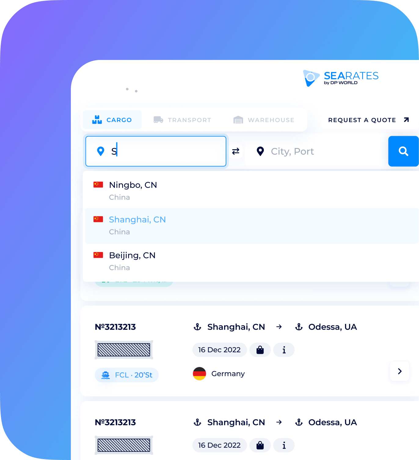
logistics app for shippers and carriers.
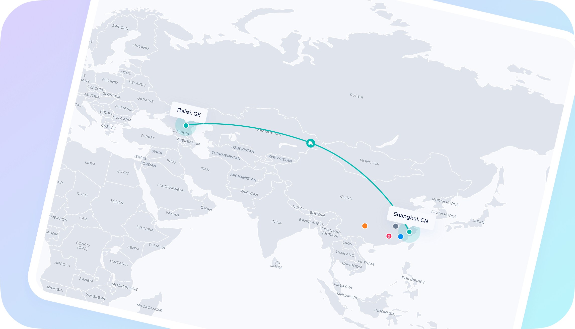
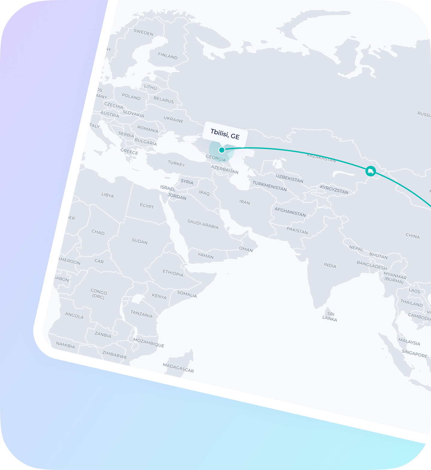
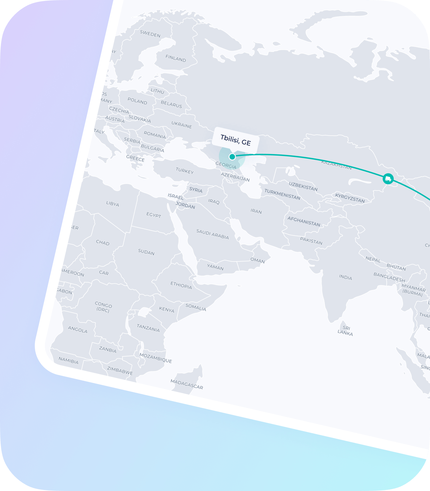
worldwide
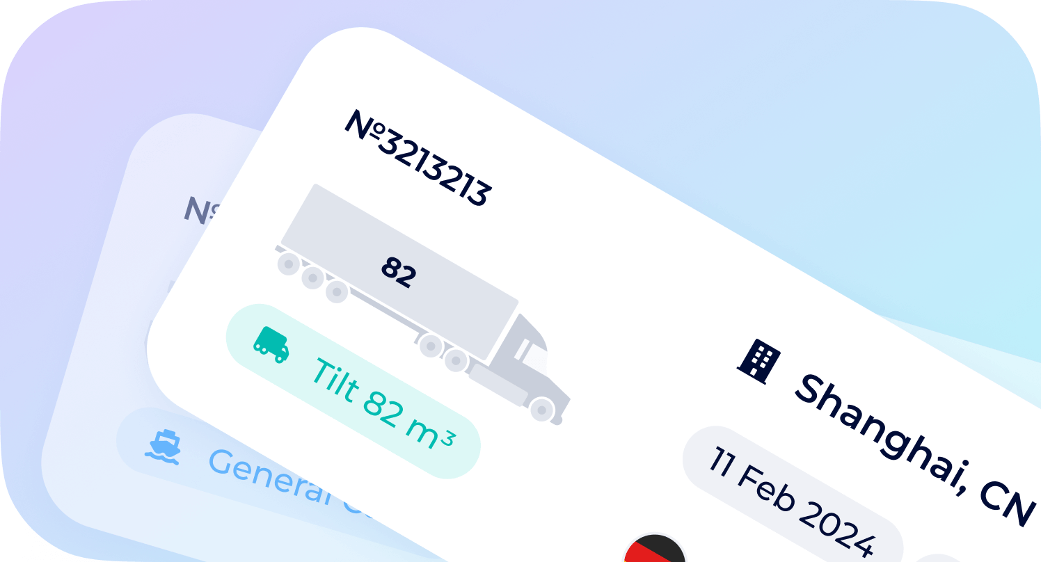

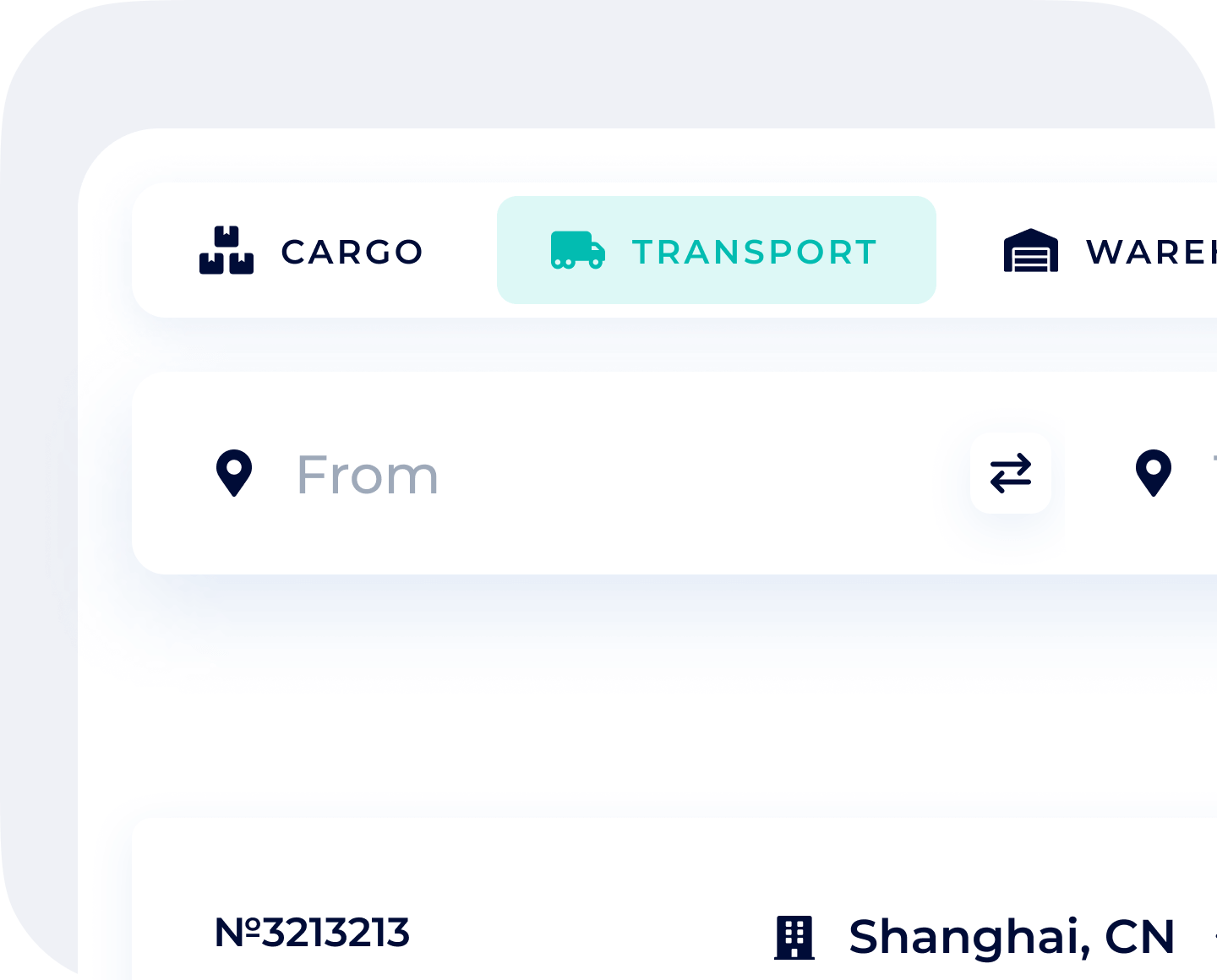
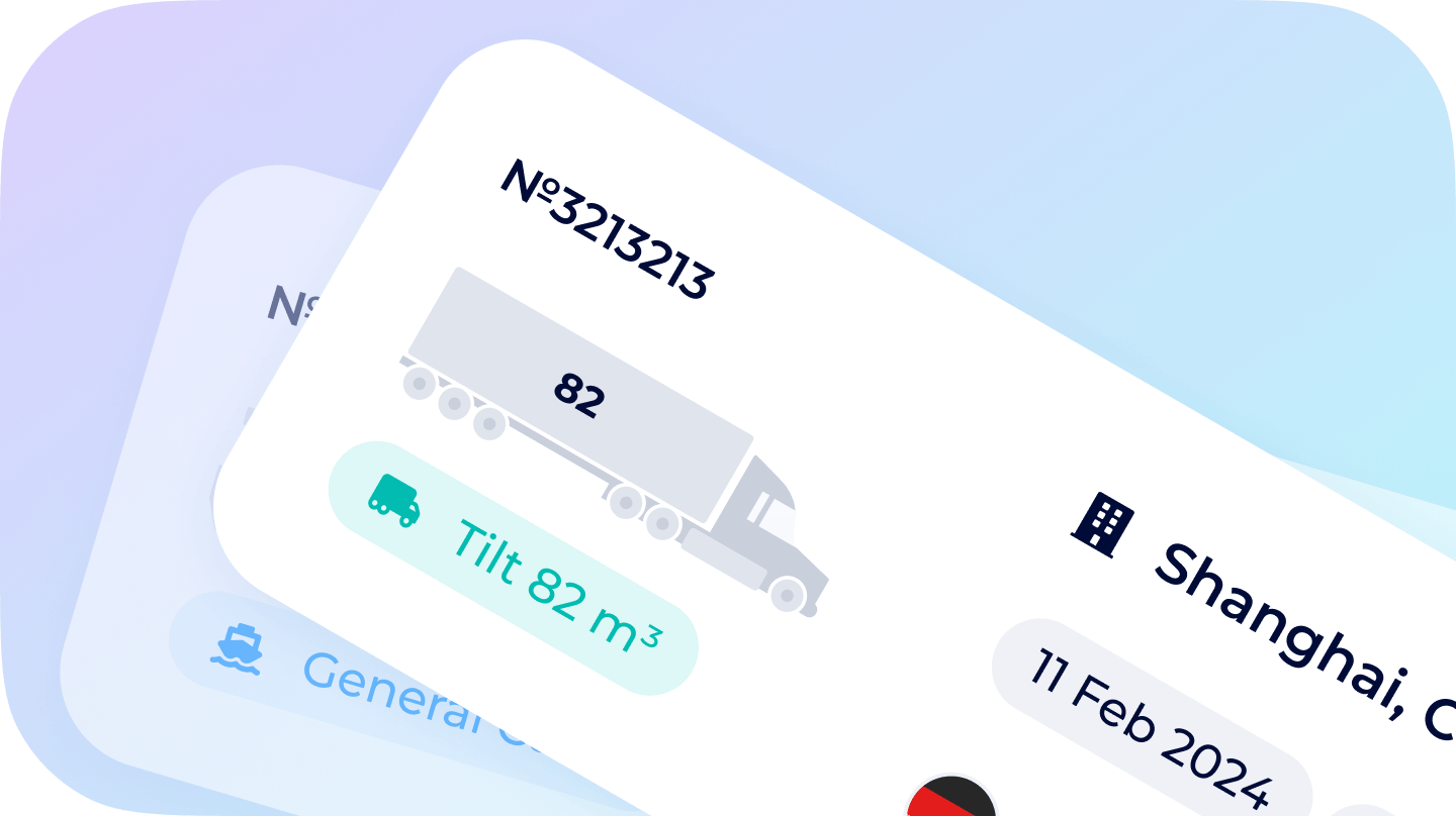


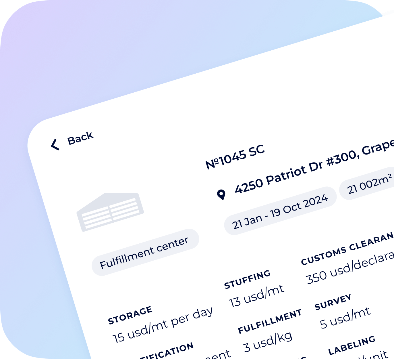


logistics
management
options for shippers
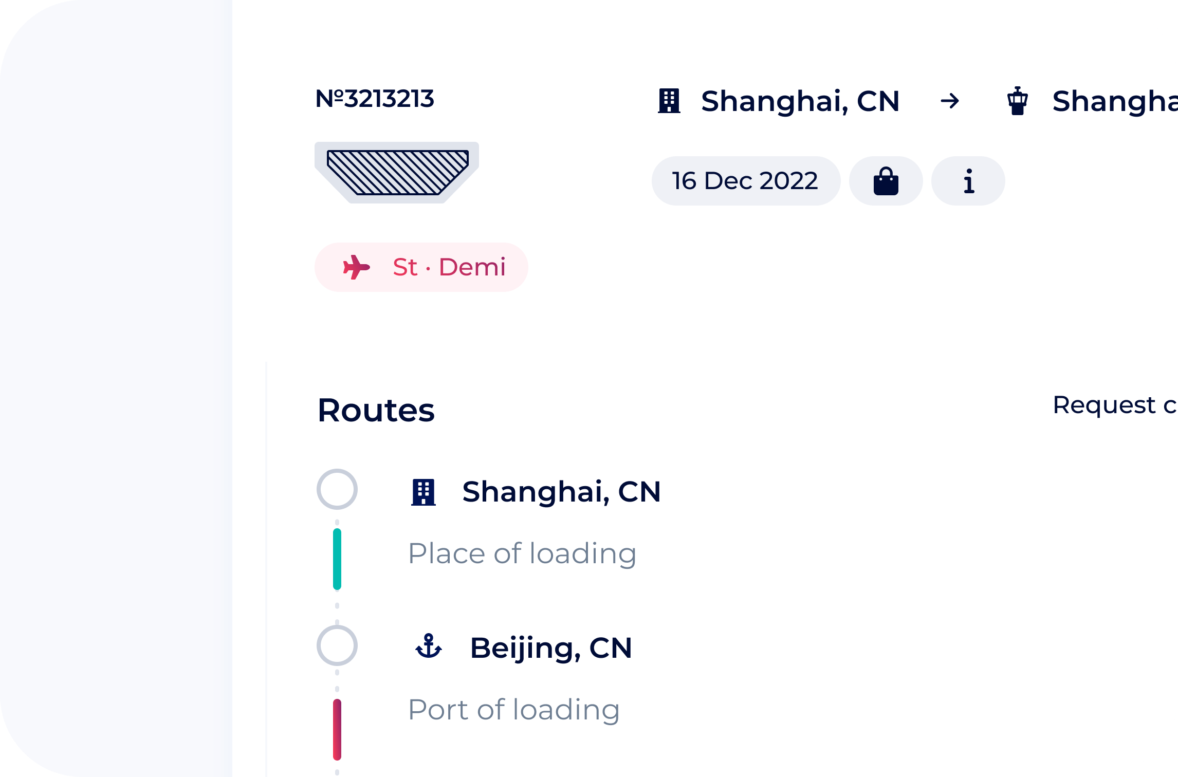


for carriers
audiences. Make your requests loud and keep your income automated!


software
SeaRates Logistics Map FAQ
-
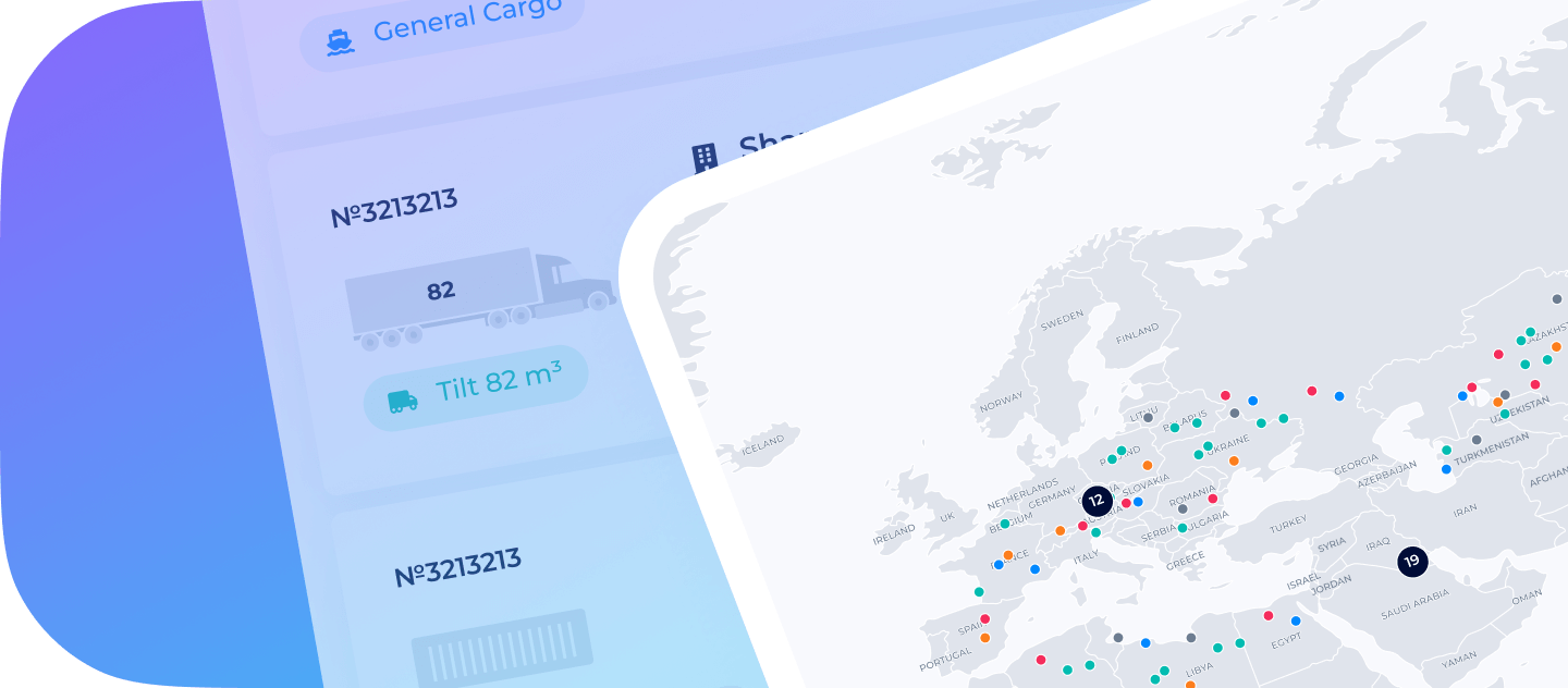
A freight area refers to a designated zone where goods are transported, stored, and distributed. It is often illustrated on a freight map, which shows the routes and locations used for moving cargo. A shipping map provides similar insights, highlighting shipping lanes and ports crucial for maritime transport.
-
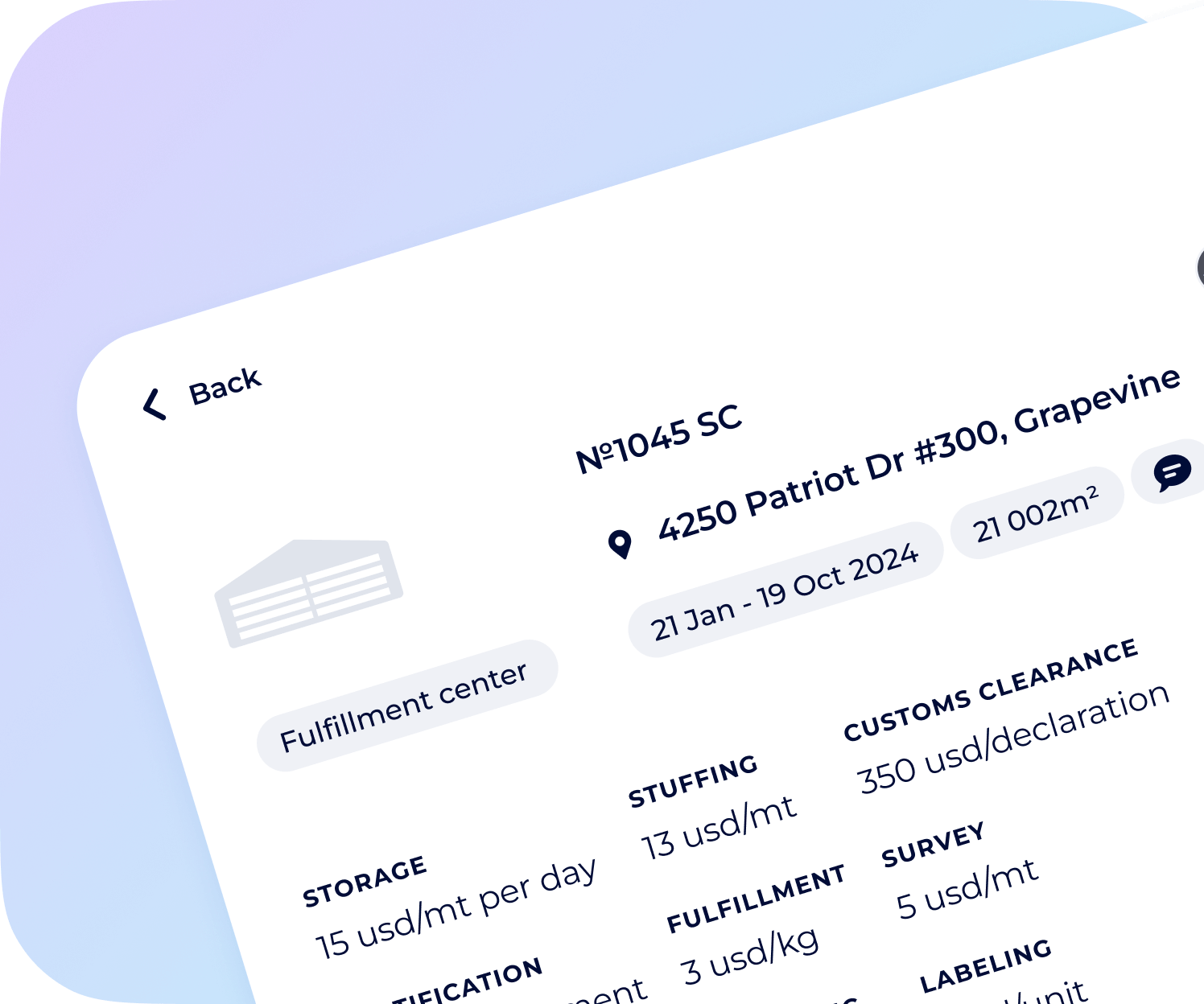
Sea freight is calculated based on several factors, including distance, cargo weight, and shipping method. A sea freight map can help visualize shipping routes and identify potential costs associated with different paths. Additionally, a cargo map outlines the specific types of goods being transported, which can influence pricing due to handling requirements or regulations.
-
A network map in logistics is a visual representation of the various transportation routes and nodes involved in the supply chain. It helps identify how goods flow from suppliers to consumers. This is part of map logistics, which analyzes and optimizes the movement of products. Logistics mapping further details the connections between different logistics facilities, such as warehouses, distribution centers, and ports.
-
The sea freight method refers to the transportation of goods via ocean vessels. This method is often chosen for its cost-effectiveness, especially for large shipments. A sea freight map helps visualize the various shipping routes taken by vessels, illustrating port locations and the pathways between them.