Distance and Transit Time Calculator

What is the SeaRates Distance & Time tool?
This is the easiest way to calculate time with speed and distance online for sea, road, rail, and air transportation across the globe! Our intuitive speed distance time calculator for shipping is ready to provide comprehensive insights on transit time data and shipping route distances with the mapping of shipments worldwide. Discover information and predict arrivals for shipments around the world with the SeaRates database.
Demande de Devis IT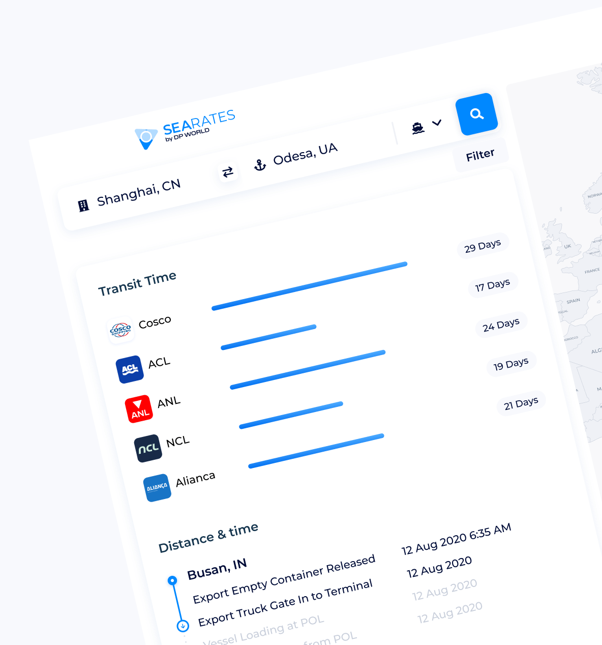
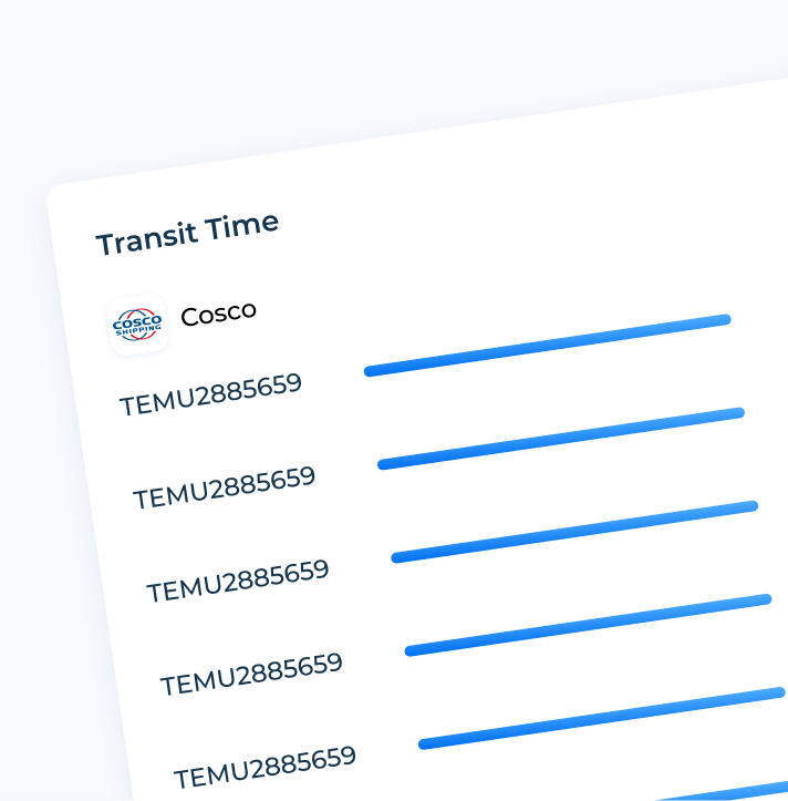
How does it work?
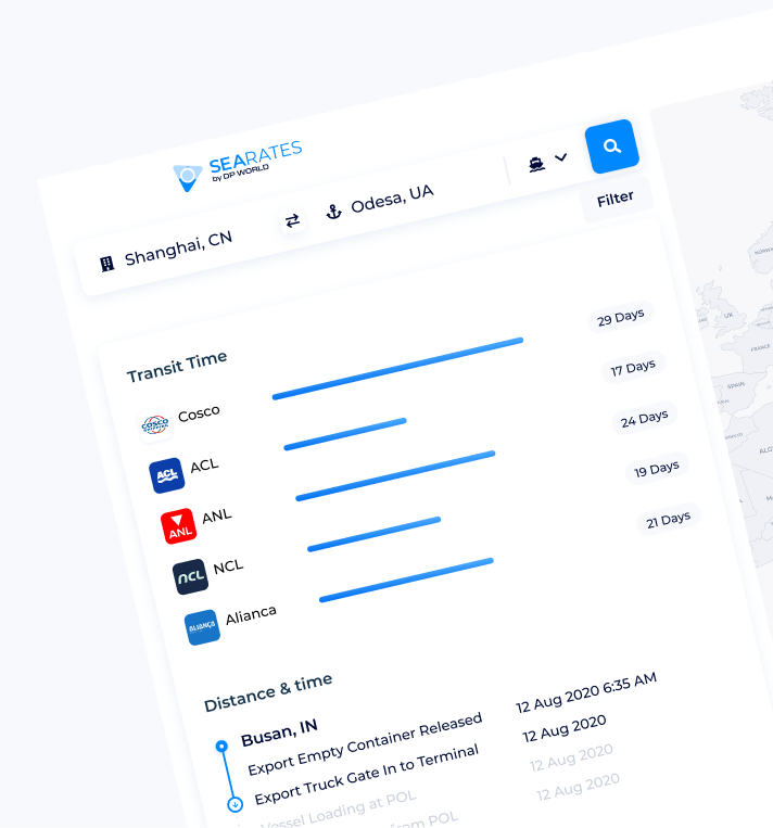
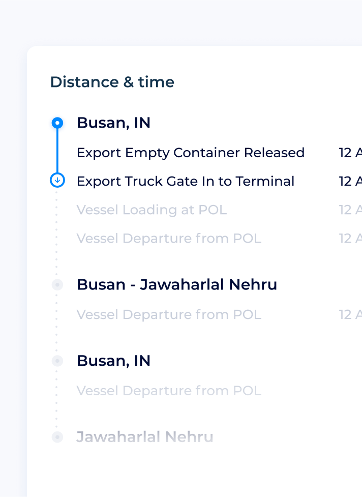
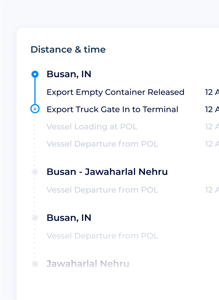
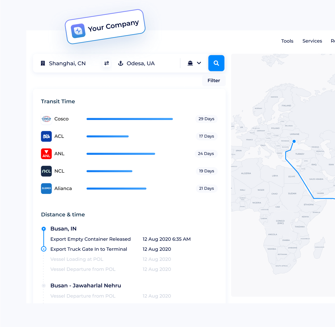
Enter departure and destination points, choose transportation mode, and get historical transit data with distance time graph results via the Distance & Time tool. Wonder how to find distance with velocity and time? Set ‘Average speed’ to reach customized results from the shipping distance calculator per your needs. Explore how to calculate distance and time for shipping as easily as possible.
What data Distance & Time is based on?
The interactive time distance calculator utilizes shipping lines’, ocean carriers’ and logistics providers' data, collected over a decade and regularly updated.
Calculate time, distance and speed online to ship appliances long distance effectively.
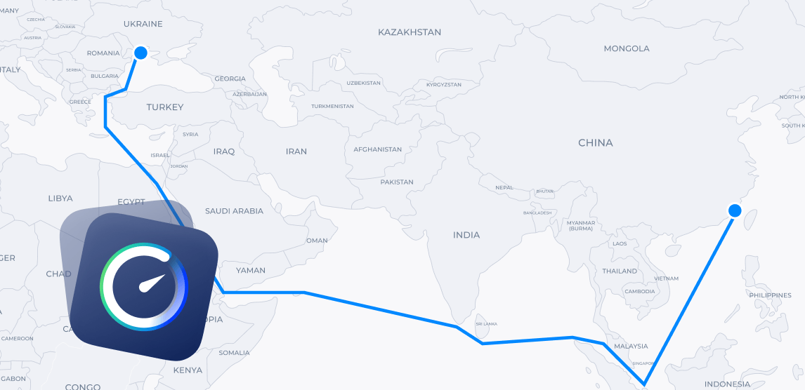


Calculation insights for cost-effective shipping
With the SeaRates online distance and transit time calculator, you can predict how long your cargo carriage will take and how much it will cost, depending on the shipping type. Does shipping cost depend on distance? In a direct way! With just a couple of seconds of calculations, you can plan routes that are shorter and more efficient than popular longer ones, saving resources, fuel, and so on.
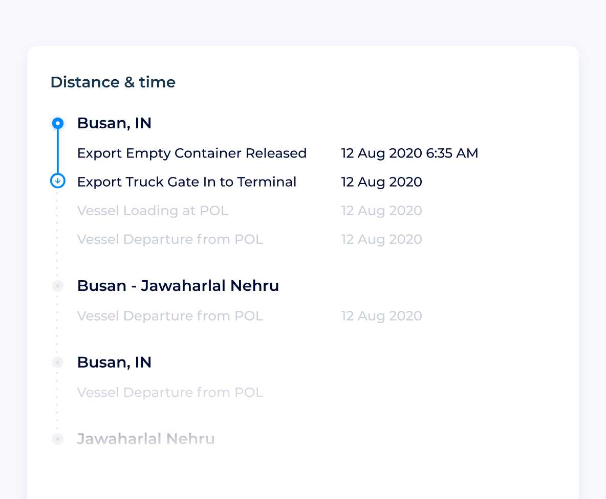
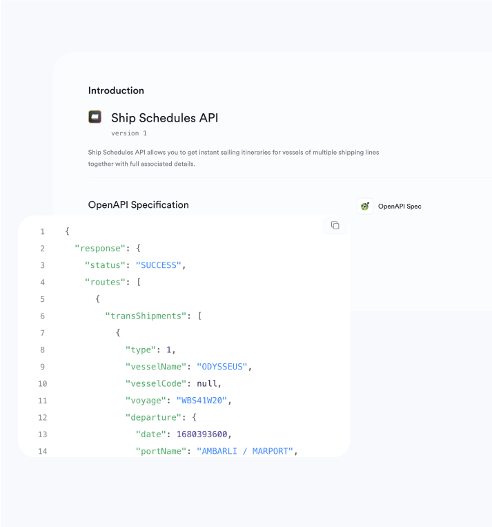
When will I get my shipment?
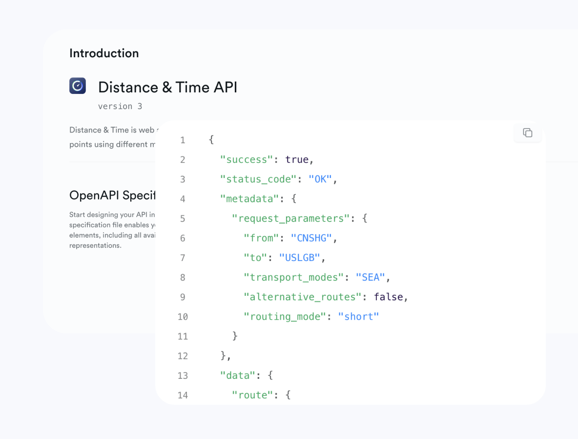
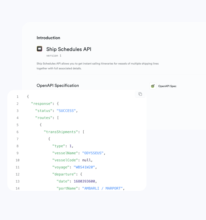
While not all logistics providers can answer this question, SeaRates has effective IT products for this purpose. Integrate a white-label solution or API of Distance & Time to make your company's website or platform a reliable source of necessary insights for your customers. Give a worldwide audience the opportunity to calculate time with distance and speed online regularly by simply checking your website!
How does it work for your business?
Your prospective customers are searching for how to find time and distance for their shipments. With a comprehensive calculator distance time speed on your website, they can easily compare and find the best routes for cargo transportation and book it directly with you.
All-inclusive services are a sure way to beat the competition!
Logistics providers usually integrate Distance & Time with the Logistics Explorer tool for complete supply chain management. Let your customers create a distance time graph online and then find your freight rates to any destination to fully complete the booking process with any shipment! Start your upselling journey with comprehensive solutions to any logistics needs.
SeaRates Distance & Time FAQ
-
Shipping transit times can vary depending on several factors, such as the distance between the origin and destination, the shipping route, and the type of vessel. Typically, sea freight transit time ranges from a few days for shorter routes to several weeks for long-distance international shipments. For example, shipping between major ports like Shanghai and Rotterdam may take around 30-40 days. You can easily check the exact transit time for your shipment using online tools that calculate the distance between the ports and provide estimates based on current shipping conditions.
-
The time it takes for a vessel to transit from port to port depends on the sea distance, vessel speed, and port schedules. For example, routes from East Asia to Europe take about 30 days, while East Asia to North America takes around 25 days. Port factors, including docking times and congestion, can impact the total transit time. You can use a port-to-port distance calculator to estimate the sea distance between ports and get a more accurate idea of the journey time.
-
Sea distance refers to the distance a ship travels between two ports, measured in nautical miles. A nautical mile equals about 1.852 kilometers (or 6076 feet). It's a key unit used in navigation to calculate routes, transit times, and fuel costs. Online tools can help determine sea distances between various ports.
-
LTL (Less Than Truckload) transit time is the delivery time for smaller shipments, typically 1 to 6 pallets, that share truck space with other cargo. Transit time can vary due to multiple stops and routes. For accurate estimates, use an LTL transit time calculator or freight transit time calculator, which considers the origin, destination, and route to predict delivery times.